The University of Washington and Capitol Hill Light Rail Stations are now just one year a way from opening to trains and passengers. How is transit going to get you to those stations?
Ahead of the University Link light rail extension opening in the spring of next year, King County Metro is proposing a slew of changes to Northeast Seattle Metro routes to better integrate service with the next link in the light rail chain: the University Link.
The question for Northeast Seattle transit users regarding proposed route changes appears to be (generalizing here): Are we willing to trade in under-performing routes and stops for increased frequency?
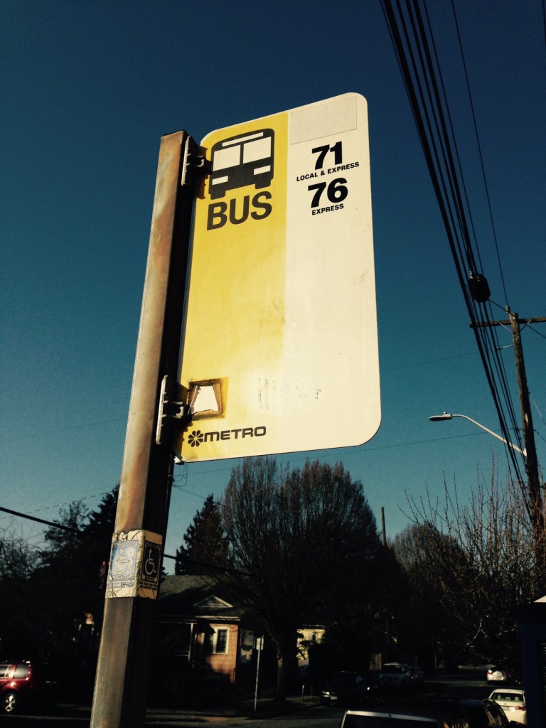
We asked around, and this Metro stop sign, with the daisy logo in the lower left corner, dates to at least the mid-1990s. (Stop #38000, west-bound on NE 65 Street and Ravenna Ave NE).
For example: Could you imagine life without the good ol’ 71 Express? It’s tough, especially for residents in Wedgwood and View Ridge where service would be reduced. But what if it were replaced by a heavily revamped Route 16 that arrived every 15 minutes (instead of the 71’s 30 minutes) and created an enhanced east-west transit corridor from Green Lake all the way to Sand Point Way? Are residents willing to walk a little further for changes like these?
More on the map I mentioned above: For a visual, flipbook-style look at present service and proposed changes, we recommend checking out the map found in this Seattle Transit Blog post. Hover your cursor over the map image found there, then click and hold the vertical white line. Move the line left and right to see the changes.
The Seattle Transit Blog posted their take on the changes proposed for Northeast Seattle routes earlier this month. If one is looking for more detail about the proposed changes (and what the differences between Alternate 1 and 2 mean), their post is a good read. Included in the post is a list of route-by-route changes for riders wondering what their new alternatives would be.
UPDATE (6:39 PM): Alternative 1 Montlake Triangle Vicinity Routes map:


